Iceland is a destination like no other in the world. On this island, located between Greenland and Norway, it is possible to enjoy natural phenomena such as geysers, geothermal waters, volcanoes, glaciers and waterfalls. Iceland, thanks to being the country with the lowest population density in all of Europe, offers unspoiled landscapes full of magic, impossible to find anywhere else in the world. Let’s discover where Iceland is on a map and all that this beautiful island has to offer!
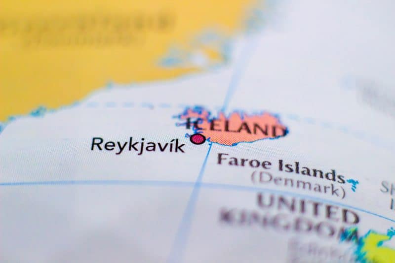
Where is Iceland on the Map?
Iceland (Ísland, from its official name in Icelandic) is one of the smallest nordic countries in the world. However, it is also the second-largest island in Europe with a surface area of 103,000 km² (after Great Britain). It is located between the Greenland Sea and the North Atlantic Ocean, south of the Arctic Circle. It’s is quite far away but well worth it. Its location, close to the mid-Atlantic ridge, means that it has intense volcanic activity and a large presence of geysers.
Iceland Road Map
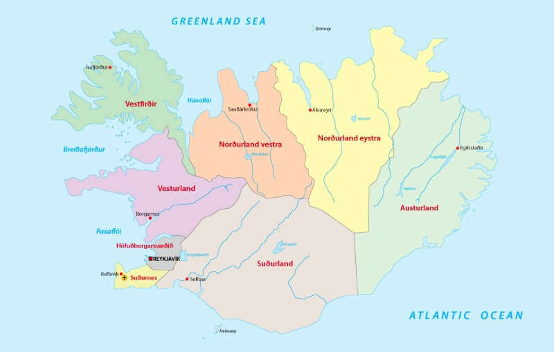
Iceland is known for its beautiful landscapes made up of ice and fire. First-time visitors will quickly notice that every region in Iceland deserves its reputation. With geysers, lava fields, and lakes where icebergs float, various parts of the country provide travellers with many changes of scenery. If you can, try to visit each of the following 8 regions of Iceland – the time spent exploring them is worth it.
Reykjavik
The perfect starting point to discover the spirit of Iceland is Reykjavik. Located in the north-west of the country, it is considered the northernmost capital in the world. Due to its location, the wintertime only provides you with four hours of light per day, while, during summer, daylight outshines the light.
Initially, the Icelandic capital was a large Viking settlement, later a nerve centre for trade, and eventually, one of the most important whaling ship bases in the world. Today, Reykjavik is a city in which just over 120,000 people live. It means a third of the total population of the country.
Reykjavik is also a young and cosmopolitan city that receives many travellers per year. Its special charm consists of enjoying the life of its locals and the intense cultural commitment of the city (there are 9 museums). On the other hand, Laugavegur is the commercial street, where the main fashion and craft souvenir shops are located. Here you can buy the famous ‘Lopapeysa’ hand-knit Icelandic sweater.
Finally, very close to Skólavörðustígur, you will find the modern Lutheran church Hallgrímskirkja, the most famous monument in Reykjavik. Its high tower can be seen from anywhere in the city.
Reykjanes and the Blue Lagoon
The Reykjanes Peninsula is located in the southwest of Iceland, a few kilometres from Reykjavík and Keflavik International Airport. The island sediments are volcanic, so the whole area has a great geothermal activity that you can enjoy in every corner, for example, fumaroles, craters, lava fields, hot springs and of course, the famous Blue Lagoon thermal spa.
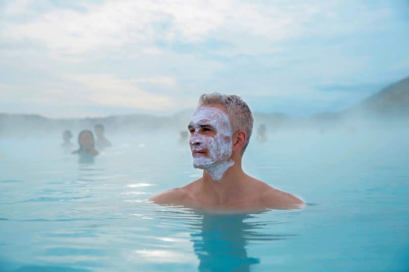
Additionally, in Reykjanes you can find small charming fishing villages and numerous coloured lighthouses that rise majestically off the coast. Also, the area is well-known for hosting the Keflavík International Airport, which was in the past a United States military base and eventually became a civilian facility.
Western Iceland – Vesturland
Borgarnes is the capital of Vesturland. You can find the entire administrative and bureaucratic system of this sublime area. This city is very important for us in terms of History and cultural heritage. Hence, Western Iceland is one of our favourite places. Vesturland has a great variety of fauna and flora that will not disappoint: lava fields, snow-capped mountains and glaciers. One of the most famous places in the region is the Snaefellsnes peninsula, suitable for any kind of traveller. This region is known as “the Little Iceland” since it is a small sample of everything that the country has to offer. Therefore, its landscapes will leave you speechless.
The West Fjords – Vestfirðir region
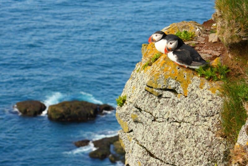
The West Fjords are located in the northwestern part of the Viking Island, off the coast of Greenland. It is a wild and mountainous region where you will feel like that time has stopped there. Its landscapes will take your breath away. The capital is Ísafjörður, which, as its name suggests, is located in the middle of a fjord. The views are beautiful around the region. Here, you can visit the Drangajökull glacier; the fifth largest in the country, see puffins in Látbrabjarg, climb a mountain or take a kayaking tour in its fjords. I assure it is worth it.
Eastern region – Austurland
The Austurland region is a wild and lonely area. In this area, you will find the Skaftafellsjökull and Eskifjorður glaciers. It is a perfect destination for those who want to be in the middle of nowhere and reconnect with nature. Among the activities you can do in Austurland, we recommend hiking trails, outdoor activities, extreme sports and all this with the advantage of having this region almost to yourself. The most populous city has only 2300 inhabitants.
Northeast Region – Norðurland Eystra
The north-eastern region of Iceland is the Land of the Midnight Sun. It offers impressive sunsets in which the sun barely touches the sea before rising again. Its landscapes compete with its varied fauna. Beautiful specimens of seals and whales stand out, easily visible. The north is the perfect place to discover the little Icelandic horse and enjoy horseback riding tours in Iceland.
Akureyri is the capital of North Iceland, a small town with a lively cultural life, especially during the summer months. It is the second-largest city in Iceland behind Reykjavik with about 18,000 inhabitants. Akureyri is located at the end of the Eyjafjörður fjord, which is the longest fjord in the country.
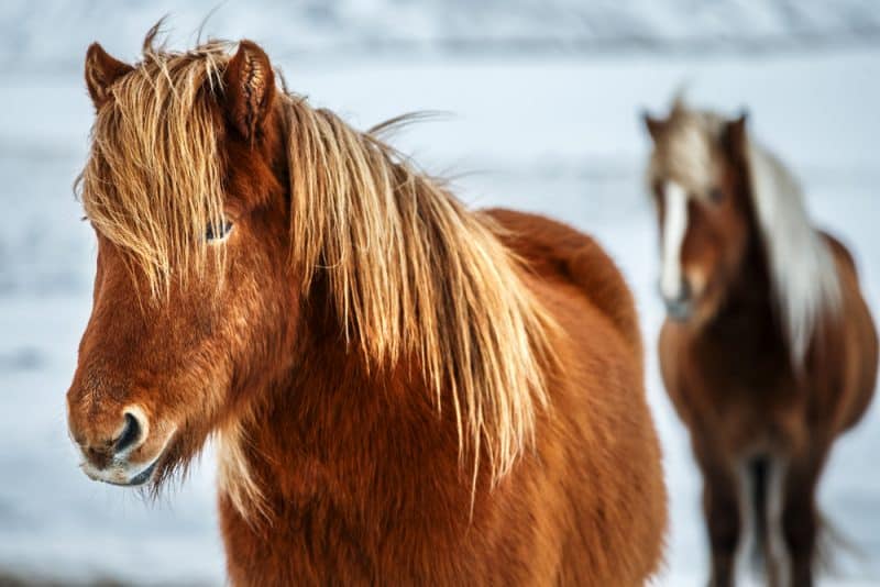
Moreover, one of the most interesting places in North Iceland is Askja or Lake Mývatn. It is world known for its avian fauna and beautiful landscapes, full of dreamy colours.
Northwestern region – Norðurland Vestra
The capital of the Northwestern region is Sauðárkrókur, located on a fjord. It is an important fishing town and one of the largest in the north of the country. This area is mentioned in the Icelandic sagas as some Vikings arrived here in the 9th century. We recommend you to visit the island of Drang, it’s impressive.
South Iceland – Suðurland
South Iceland is the best known and most visited area in Iceland. If you spend a few days in the country, this is your dreamy route. The south of the island has different natural gems to visit. You cannot miss Vík and its black sand beaches, the impressive Selfoss waterfall or two of the most active volcanoes on the island: Hekla and Katla. Does the Golden Circle ring a bell? Well, it’s located here!

Main Tourist Attractions in Iceland
The Golden Circle
The Golden Circle route in Iceland is perhaps the most popular one among tourists visiting the Nordic country. The reason is quite simple. In just 1 or 2 days you will be able to see in a summarized way everything that Iceland can offer us. From large waterfalls, crystalline lakes, to geothermal areas where geysers, mud pools and volcanoes cannot be missed.
The Golden Circle road route takes around 300 kilometres but, despite its length, it is quite feasible. The entire route is usually done in 1 day thanks to the long summer days where the sun never sets. This trip begins in the country’s capital, Reykjavík. You will take a comfortable road to Lake Þingvallavatn, the largest in the country. Its water is so cold and clear so you can look at the bottom of the lake through its crystal clear waters without losing visibility.
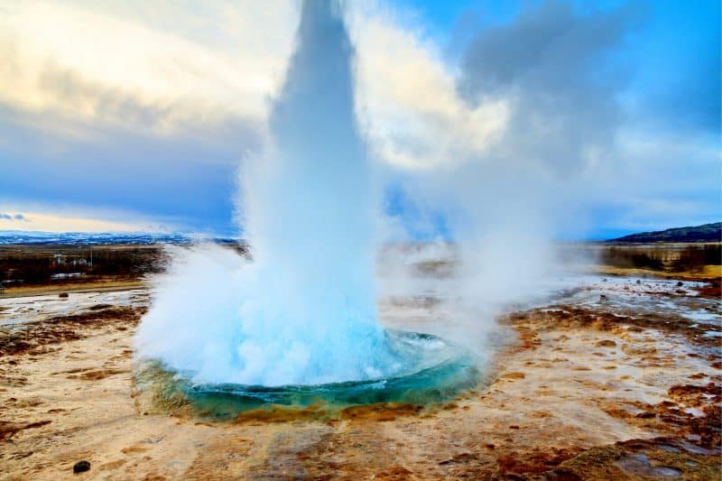
After driving around 45 minutes and travelling the 40 kilometres that separate the lake from the big city, you will find the most important points of the route of the Golden Circle in Iceland: The Thingvellir National park, Silfra, the Geysir geothermal area, the Gullfoss waterfall, the Kerið volcano and Reykjadalur with its hot springs.
The Ring Road
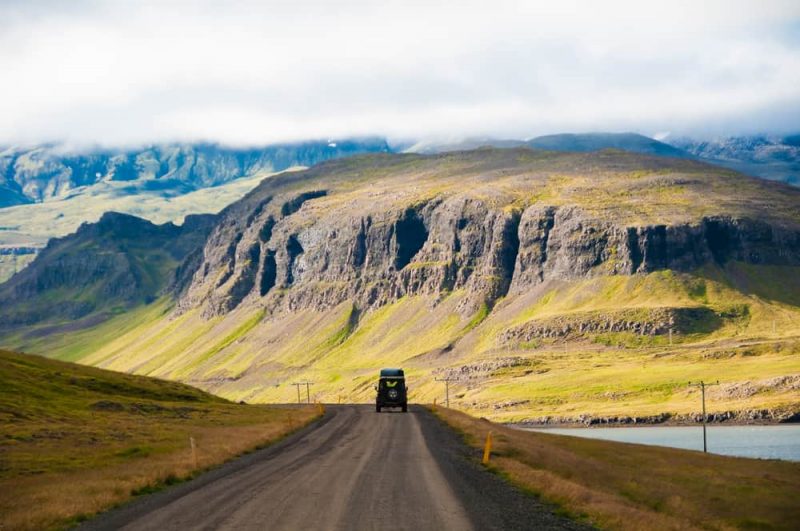
If you plan to get to know Iceland, it is essential to do it driving through the Ring Road. It is the best option, without a doubt, especially if you do not have much time. This main road is paved (except for one section in the southeast) goes around the entire island.
Its 1,332 kilometres in length allow you to make a tremendous route and thus visit its main points of interest. If you want to explore the interior, you will have to drive on F-type roads in Iceland, which can only be accessed by off-road car.
Iceland Map Explained for Tourists
Travelling to Iceland can be a unique experience. Volcanoes, waterfalls, geysers, glaciers, fjords, among other natural gems, are a daily reality in the Land of Fire and Ice. Our lovely Viking island is one of the most exciting nature destinations on the planet. There is no doubt that Iceland is a natural paradise where every spot you look at, you will find a place that will take your breath away. Pack your suitcase and get ready to visit the best tourist destination of 2021!


Interesante información, me ha despertado interés importante para viajar a Islandia. Gracias
Takk FANRIVCAR!
We hope you can visit Iceland soon 🙂